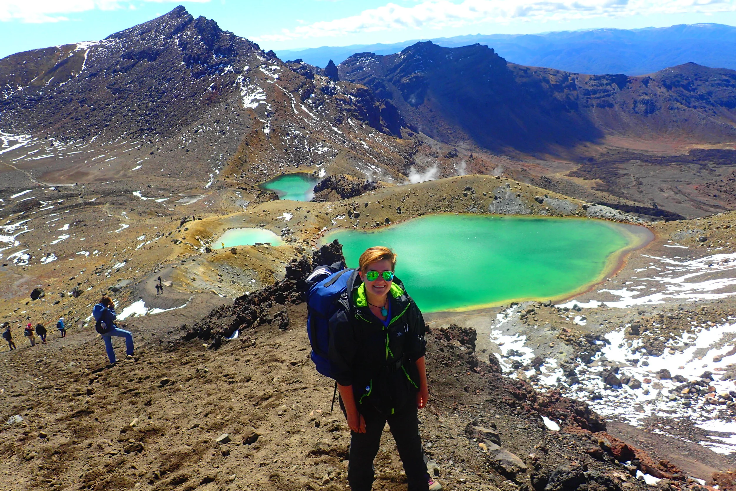
I love making maps of where I'm going and where I've been! I made one for Iceland before I set out on my big international trip in 2014. And I recently made one for my visit to Oahu.
Once again, I mapped my road trip around Arizona and Utah. I used Google Maps to first pinpoint fun activities and places I wanted to visit. After I returned, I plotted the actual route I took and places I saw.
I share an interactive map of my AZ-UT trip below. It includes all the activities I did and even some I never had the chance to check out. I even include a day-by-day description of my itinerary this time!
I am writing right now from Utah!
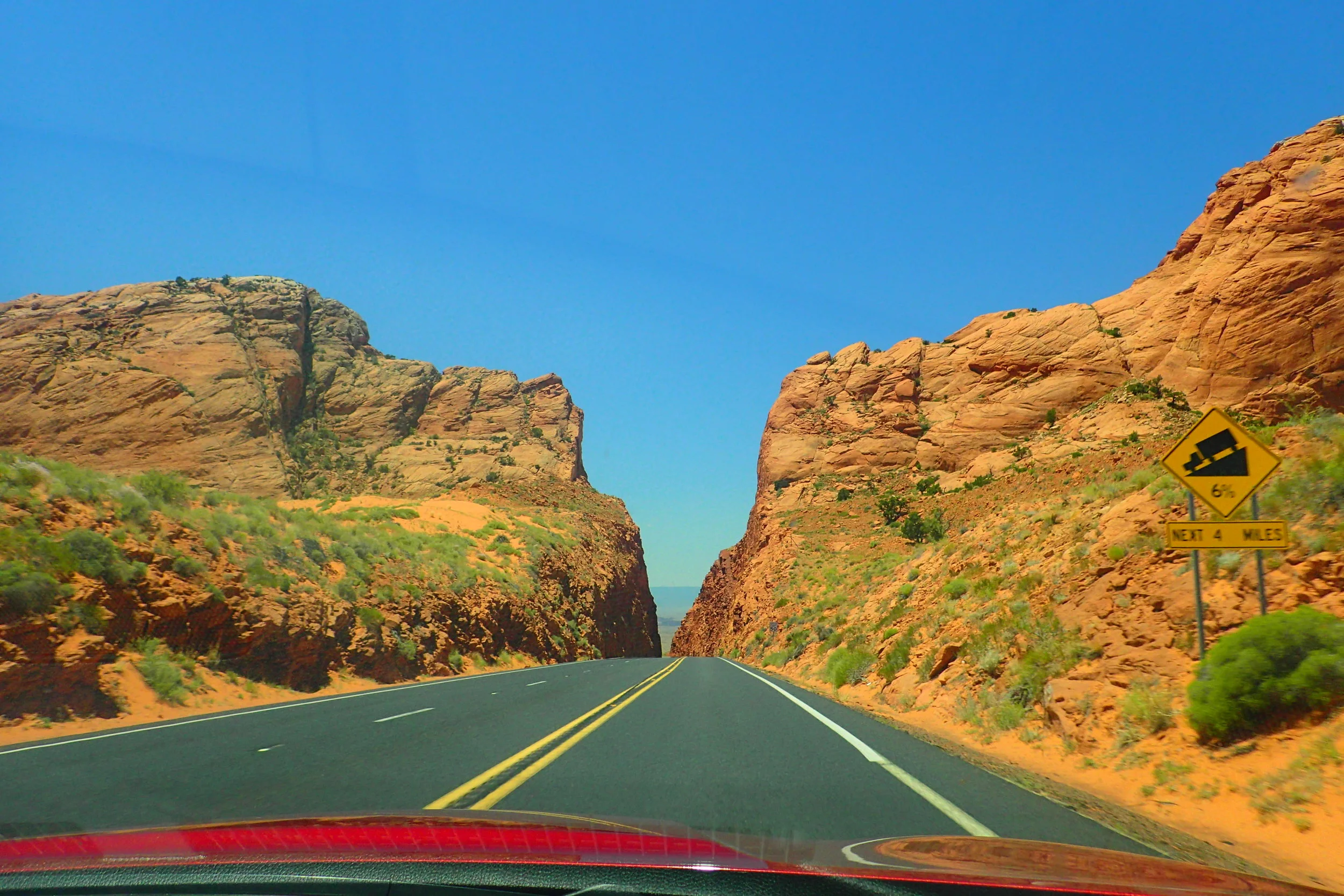
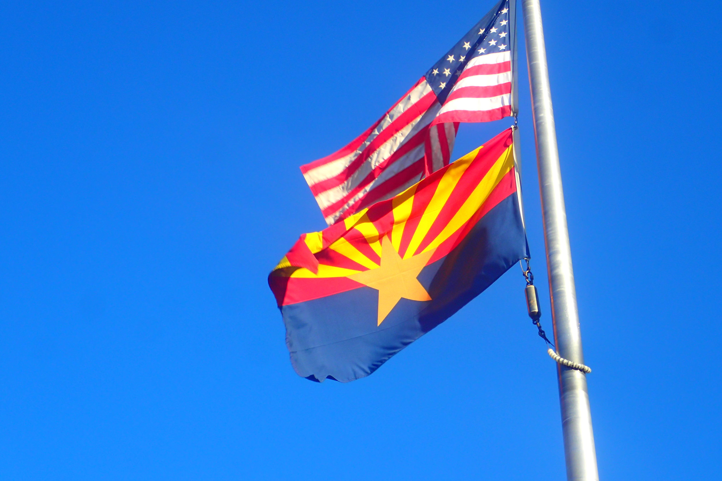
I will be here for another few hours and then I am heading back to Arizona to celebrate our nation's Independence. There really has been no better way to celebrate the USA's birthday than to visit some of our nation's most spectacular national parks (and more).
During this trip, I have also had the chance to reflect on what Independence Day might mean to other groups in America, such as the Diné (Navajo people) and other local tribes indigenous to Northern Arizona and Southern Utah.
Soon I will write all about my experiences road tripping from Flagstaff to St. George and back. But before I do, the following is a little photographic teaser. In two weeks, look out for a regular post about this trip (with all the trappings)!