Who knew tracking down manatees in a mangrove maze would be so mind-blowing? (I promise that's the only bit of alliteration in this post)
One day in the Florida Keys, Jono and I decided to kayak the mangroves around Islamorada. Two maps were handed to us and we were off. Confident in both our navigational abilities and physical abilities to take us around, we did not anticipate the amount of effort we were about to put into this trip.
In the end, we learned that when other people lay out a path for us, it's not always the clearest one to follow!
Kayaking from Robbie's
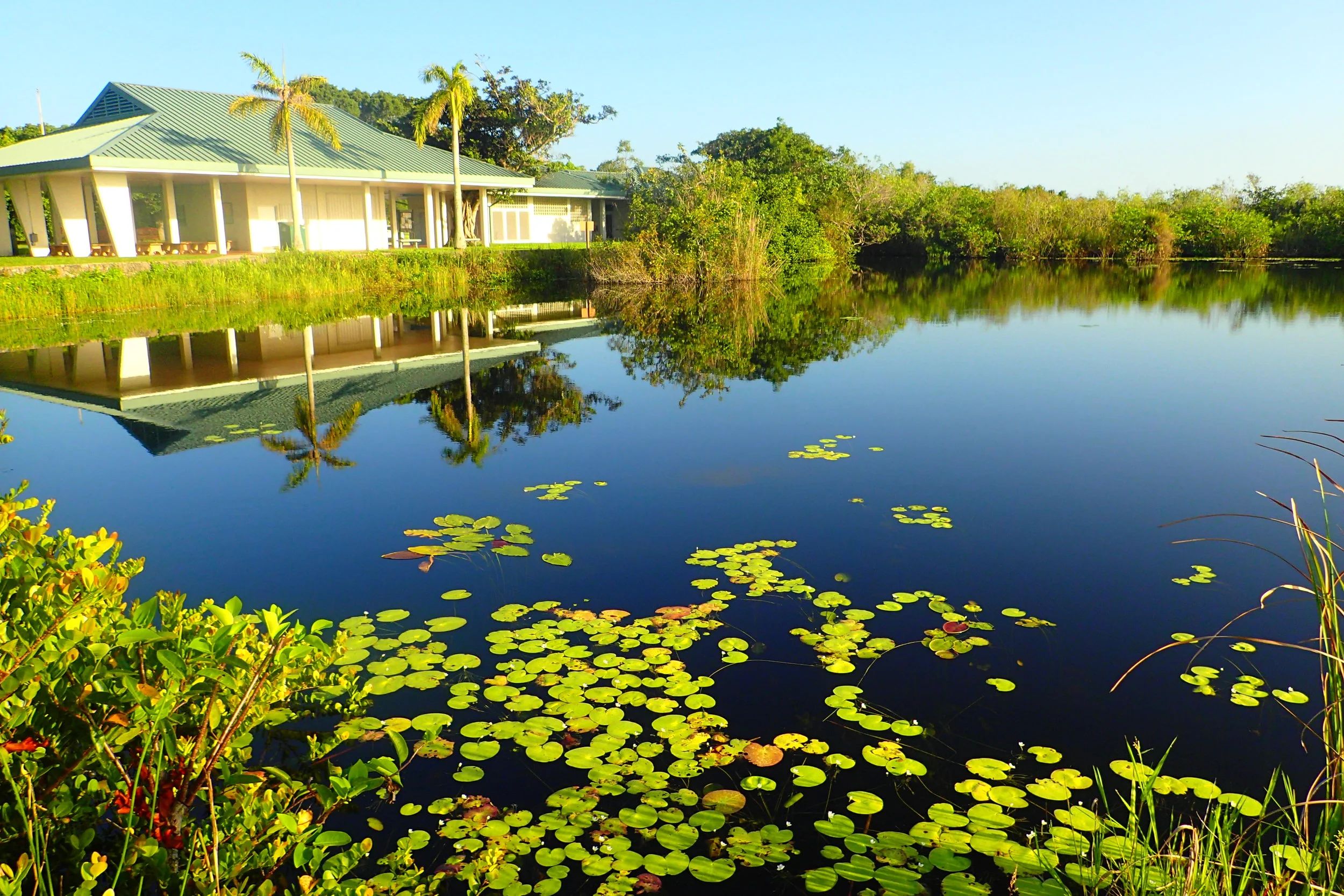
Robbie's is a marina located in Islamorada in the Florida Keys. There's lots to do and see at Robbie's including gift shopping, fish feedings, boat rentals, snorkeling excursions, and kayaking.
Robbie's is located near the Lignumvitae Key Botanical State Park with its vast mud flats and mangroves.
Google map screen shot of the area around Robbie's
Lignumvitae Key is known for being "old keys." In other words, it has relatively untouched vegetation including some of the heaviest wood on Earth, Black ironwood. Lignum vitae wood is similarly dense and, for example, it was used to build structures in San Fransisco: These were among the only structures to survive the 1906 earthquake.
But Jono and I were not interested in trees on this particular adventure.
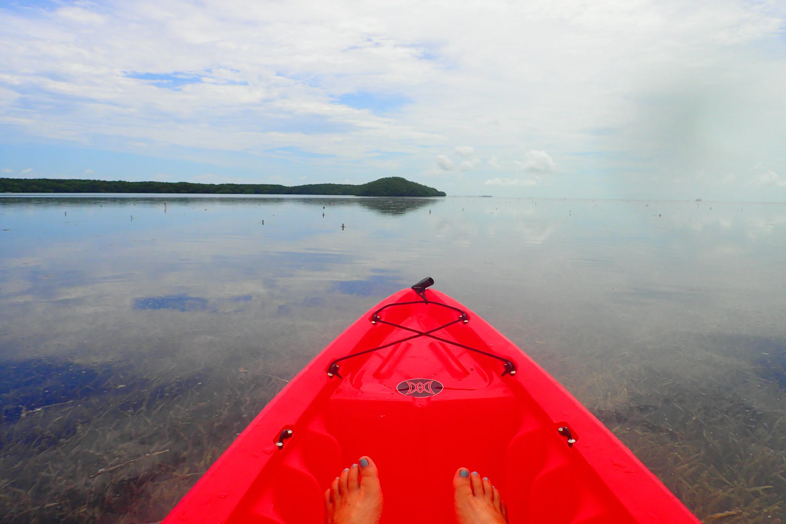
We wanted to paddle under mangrove canopies and spot some manatees! So we opted for a double kayak at $55 (a good deal when a single is $45). We could take it for 4 hours—plenty of time to make it around the mangroves and maybe even visit Lignumvitae Key or Indian Key nearby.
The Map
Mitchell, from behind the counter at Robbie's Kayak Shack, handed us two maps to follow. He said, "Just don't go in the spot on the map that's marked as a danger area!" Jono and I laughed. We noted the path marked in red as the danger zone and confidently set off from the marina.
I wish I had the original map to show you but the following is a far better version (google maps screen capture) of the path Jono and I were meant to take.
Jono and I planned to go the long way around and then find our way into the mangroves from there.
Gorgeous Views and a Wrong Turn
Initially, we paddled passed what seemed to be a few different exits out of the mangroves. We followed closely around the bend and made it out to a stretch of shallow water. We were admiring the distant views of small island keys to our right and a thick forest to our left, merrily on our path to adventure.
As we continued this way for about 20 minutes, noting the heat and the stiffness of our untrained shoulder muscles, we took a short break to examine the map.
At some point, we would need to turn left at a white marker—no wait, on Jono's map it was an orange marker. Well, we needed to spot a marker next to a path that would lead us across the danger zone to an entrance into the mangrove forest.
We paddled on, certain that the marker would be up ahead in no time.
In the Danger Zone
Eventually we realized we had gone way too far. We turned around and cut into a big opening in the forest that we already knew was not the correct path in.
As we followed this large channel, we were pushed along by a swift current and realized boats used this channel regularly. We held onto trees off to the side to keep out of the way of them mowing us down. Oh wait, are we in the danger zone? But where was the entrance to the mangrove forest?!
We decided to keep going to the end of the danger zone despite the risk. This would (hopefully) put us near the different exits out of the mangroves that we had passed by earlier.
Eventually, we made it back to where we started and turned up and into the mangrove forest. Although we took a roundabout way to get there, we were finally in the place we had intended to end up.
Searching for Manatees in the Mangroves
Finally paddling up the mangroves channel, we hoped we would finally spot some manatees. We covered every inch of the mangroves, weaving into every side path and crevice we could find. Alas, we were not lucky—there were no manatees around.
Despite the lack of manatees, I was thoroughly enjoying the surrounding vegetation. I had never been in a tunnel of tree webbing like this before. Tangled roots were shooting down into the water forming a frame around us. It was unlike anything we have along waterways back in New York and most other parts of the USA (or in Jono's New Zealand!).
Next, we decided to follow a long, constantly narrowing channel that would lead us back to the start of the danger zone. This was the path we had originally hoped to find. We figured we'd find where we went wrong by popping out where we should have entered.
This amount of paddling is not normal!!!
As we neared the end of this channel, we were extremely tired. We had been fighting against a slight current, navigating dense vegetation with barely enough room to fully use our paddles.
This is when we finally made it out. We emerged at the start of the danger zone, at a spot that was definitely not an obvious entrance. The entrance was cut into the side, hidden by overgrowth that we, in fact, had to duck to fit under on our kayak.
No wonder we could not find this spot!
Sitting at this entrance, we still were confused about the location of the marked entrance that should have led us from the mud flats across the danger zone to this entrance. Looking carefully across the channel, we managed to spot an indentation in the vegetation.
"Wait...THAT'S the path with the white, er, orange marker on the other side?!" Again, it was completely overgrown and not obvious to us at all. Nevertheless, it was probably correct and we had missed it on our way around.
Advice Before You Go
The way to see the mangroves at Robbie's is to enter them right at the start instead of trying to go all the way around. You'll be working against the current for most of the way, but you'll ultimately save yourself a lot of hassle trying to find overgrown and not clearly marked entrances.
This is the path we took:
And, again, this is the path we were supposed to take:
Also, if you want to see manatees, you might want to just stay at Robbie's!
When we arrived back at the marina, Mitchell told us to hop back in our kayak because a manatee had just shown up! He was nice enough to let us paddle around the docks for while despite already being back a bit after our 4-hour time limit.
We got to observe one big, ancient-looking manatee that was bottom-feeding. She didn't come up to the surface at all, but we got some underwater shots of her.
Check her out in the bits of video we shot with Jono's GoPro:
In Summary
We were super tired by the time we finished our kayak trip around the mangroves. We had paddled way farther than we had ever intended and then fought the current for most of the second half of the trip.
But we still enjoyed every bit of our little misadventure that led us to a manatee right back at the start!


